
News Summary
As of May 3, 2025, Houston is experiencing a severe weather system characterized by heavy rainfall, thunderstorms, and tornado warnings. With reported rainfall totals between 2 to 4 inches, flood risks are particularly high along the San Jacinto River. The National Weather Service has advised residents to seek shelter as conditions are expected to worsen throughout the day. A flash flood watch and severe thunderstorm watch are in effect as more storms are anticipated, causing slick road conditions and challenging commutes for residents.
Houston
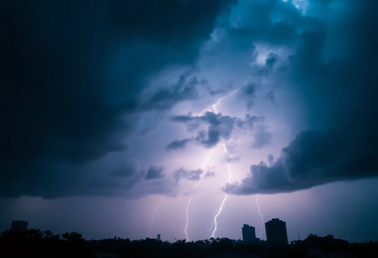
A severe weather system, including heavy rain, thunderstorms, and tornado warnings, is impacting the Houston area as of May 3, 2025. The slow-moving cold front has resulted in significant rainfall, with totals between 2 to 4 inches reported across the region, leading to heightened flooding risks, particularly along the San Jacinto River.
The National Weather Service has issued a tornado warning for parts of the area, emphasizing the seriousness of the situation. Motorists and residents are advised to seek shelter immediately within sturdy buildings or lower-level areas during severe weather, as conditions are expected to worsen throughout the day.
Current Weather Conditions and Warnings
The San Jacinto River, which has already seen elevated levels due to prior rainfall earlier this year, stands at 243.15 feet as of the afternoon on May 3. Officials are closely monitoring the West Fork San Jacinto at Highway 30, predicting that flooding is likely as upstream runoff continues to swell the river.
A flash flood watch is currently in effect until 8 PM on May 3 and covers multiple counties, including Harris, Fort Bend, Grimes, Montgomery, Liberty, Waller, Polk, San Jacinto, Walker, and Washington. Alongside these watches, an enhanced risk for severe weather has been established across the Houston area, indicating a high likelihood of storms capable of producing hail and damaging winds.
Storm Development and Future Forecast
Scattered storms began developing late on May 2 and are expected to escalate in intensity through the afternoon and evening of May 3. A Severe Thunderstorm Watch is in effect until 9 PM for areas northwest of Huntsville and Houston, impacting cities such as College Station, Waco, and Austin.
Forecasts indicate that showers and storms may linger through Saturday morning, with weather patterns expected to clear for the majority of the weekend. High temperatures are anticipated to reach the mid-80s, while overnight lows will settle between the 50s and 60s. However, threats of additional storms are projected to return by Tuesday.
Impact on Daily Life
The recent storms have caused road conditions to become slick, leading to slower commutes for residents throughout the affected areas. Traffic advisories may be necessary as commuters navigate these challenging conditions.
Background Context
Deeper Dive: News & Info About This Topic
HERE Resources
Arlington Homebuilders Face Market Challenges
Xfinity Customers in Houston Experience Major Service Outages
Severe Thunderstorms Expected in Southeast Texas
Houston Transforms into Entertainment Hub This Weekend
Tornado Watch Issued for Northern Houston Areas
Texas Senate Approves Major Changes to Insurance Rate Regulations
New Business Openings and Announcements in Lubbock
Houston Enhances Emergency Preparedness with New Weather Stations
Houston Prepares for Wet Weather and Thunderstorms
Severe Thunderstorm Warning Issued for West and Southeast Texas
Additional Resources
- Fox 26 Houston: Heavy Rain – Storm Alert Day
- Wikipedia: Houston
- Fox 26 Houston: Strong Storms Possible – Storm Alert Day
- Google Search: Houston weather
- Fox 26 Houston: Houston Weather Forecast – May 1
- Google Scholar: Heavy rain in Houston
- Click 2 Houston: Live Radar – Storms Sweep Across Houston
- Encyclopedia Britannica: Houston weather

Author: STAFF HERE HOUSTON TX WRITER
The HOUSTON STAFF WRITER represents the experienced team at HEREHouston.com, your go-to source for actionable local news and information in Houston, Harris County, and beyond. Specializing in "news you can use," we cover essential topics like product reviews for personal and business needs, local business directories, politics, real estate trends, neighborhood insights, and state news affecting the area—with deep expertise drawn from years of dedicated reporting and strong community input, including local press releases and business updates. We deliver top reporting on high-value events such as Houston Livestock Show and Rodeo, Art Car Parade, and Chevron Houston Marathon. Our coverage extends to key organizations like the Greater Houston Partnership and Houston Area Urban League, plus leading businesses in energy and healthcare that power the local economy such as ExxonMobil, Schlumberger, and Houston Methodist. As part of the broader HERE network, including HEREAustinTX.com, HERECollegeStation.com, HEREDallas.com, and HERESanAntonio.com, we provide comprehensive, credible insights into Texas's dynamic landscape.